 Gulf Islands National Seashore (2010)

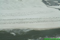
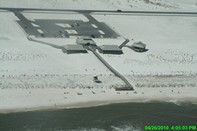
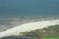
SEE ORIGINAL HIGH RESOLUTION PICTURE
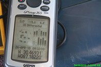
Lat/Lon: 30.39115583,-86.863955
(note Lat/Long coordinates come from location of aircraft gathering image, not centerpoint of image)
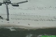
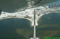
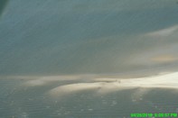
Gulf Islands National Seashore (2010)
SEE ORIGINAL HIGH RESOLUTION PICTURE
Lat/Lon: 30.39115583,-86.863955
(note Lat/Long coordinates come from location of aircraft gathering image, not centerpoint of image)