 Mississippi (2009)

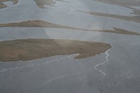
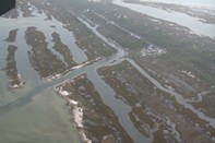
SEE ORIGINAL HIGH RESOLUTION PICTURE
Lat/Lon: 30.23513917,-89.09553333
(note Lat/Long coordinates come from location of aircraft gathering image, not centerpoint of image)
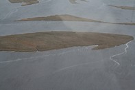
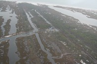
Mississippi (2009)
SEE ORIGINAL HIGH RESOLUTION PICTURE
Lat/Lon: 30.23513917,-89.09553333
(note Lat/Long coordinates come from location of aircraft gathering image, not centerpoint of image)