 Panhandle, Florida (2010)

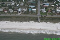
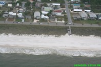
SEE ORIGINAL HIGH RESOLUTION PICTURE
Lat/Lon: 29.93030667,-85.40052833
(note Lat/Long coordinates come from location of aircraft gathering image, not centerpoint of image)
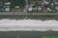
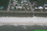
Panhandle, Florida (2010)
SEE ORIGINAL HIGH RESOLUTION PICTURE
Lat/Lon: 29.93030667,-85.40052833
(note Lat/Long coordinates come from location of aircraft gathering image, not centerpoint of image)