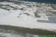
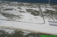
 Panhandle, Florida (2010)


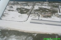
SEE ORIGINAL HIGH RESOLUTION PICTURE
Lat/Lon: 30.38389,-86.80696083
(note Lat/Long coordinates come from location of aircraft gathering image, not centerpoint of image)
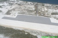
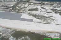
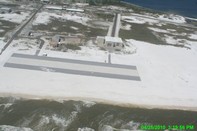
Panhandle, Florida (2010)
SEE ORIGINAL HIGH RESOLUTION PICTURE
Lat/Lon: 30.38389,-86.80696083
(note Lat/Long coordinates come from location of aircraft gathering image, not centerpoint of image)